Coastal Mosaic Viewer
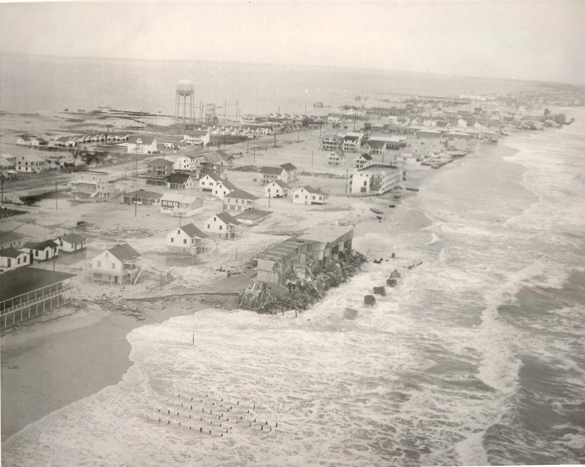
The Eastern Shore Regional GIS Cooperative at Salisbury University is pleased to announce the completion of the Historic Coastal Mosaic Project for Ocean City and Assateague Island.
Using more than 1,000 historical aerial photographs, the ESRGC created 27 georeferenced mosaics and launched the Shaped by Storms: Historic Coastal Imagery viewer. This interactive viewer makes it easy to explore and compare coastal conditions across decades.
The project supports coastal education, historical research, and resilience planning by allowing users to examine changes in shoreline position, land use, and development over time.